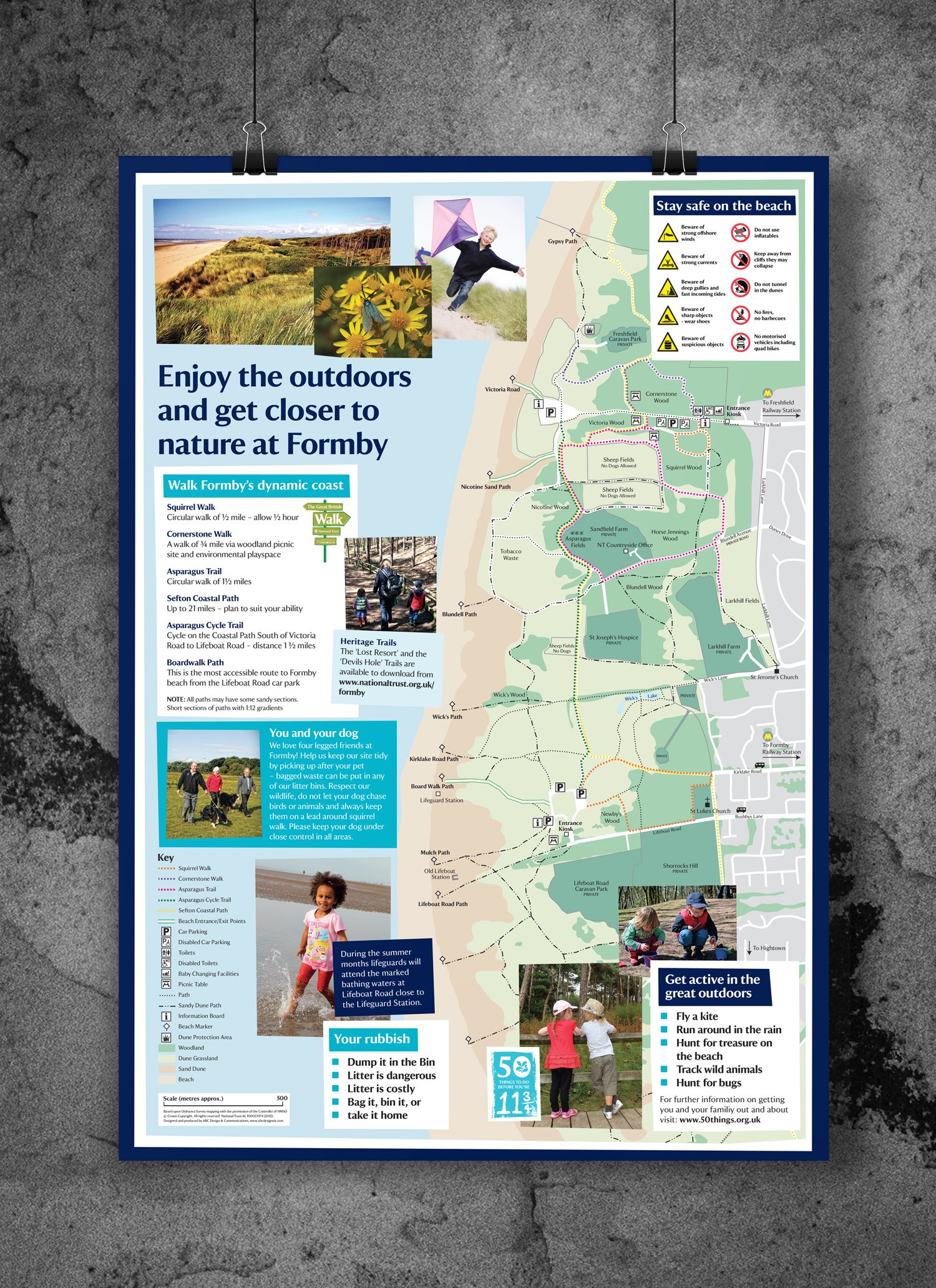
National Trust commissioned us to map the dune coast and pine woodlands at Formby on Merseyside, as well as design interpretation tools and a site leaflet. We have extensive pedigree as a designer of tourism walking and recreation maps. The end product sets out clear, colour-coded leisure trails, with parking locations, information points and points of special interest.
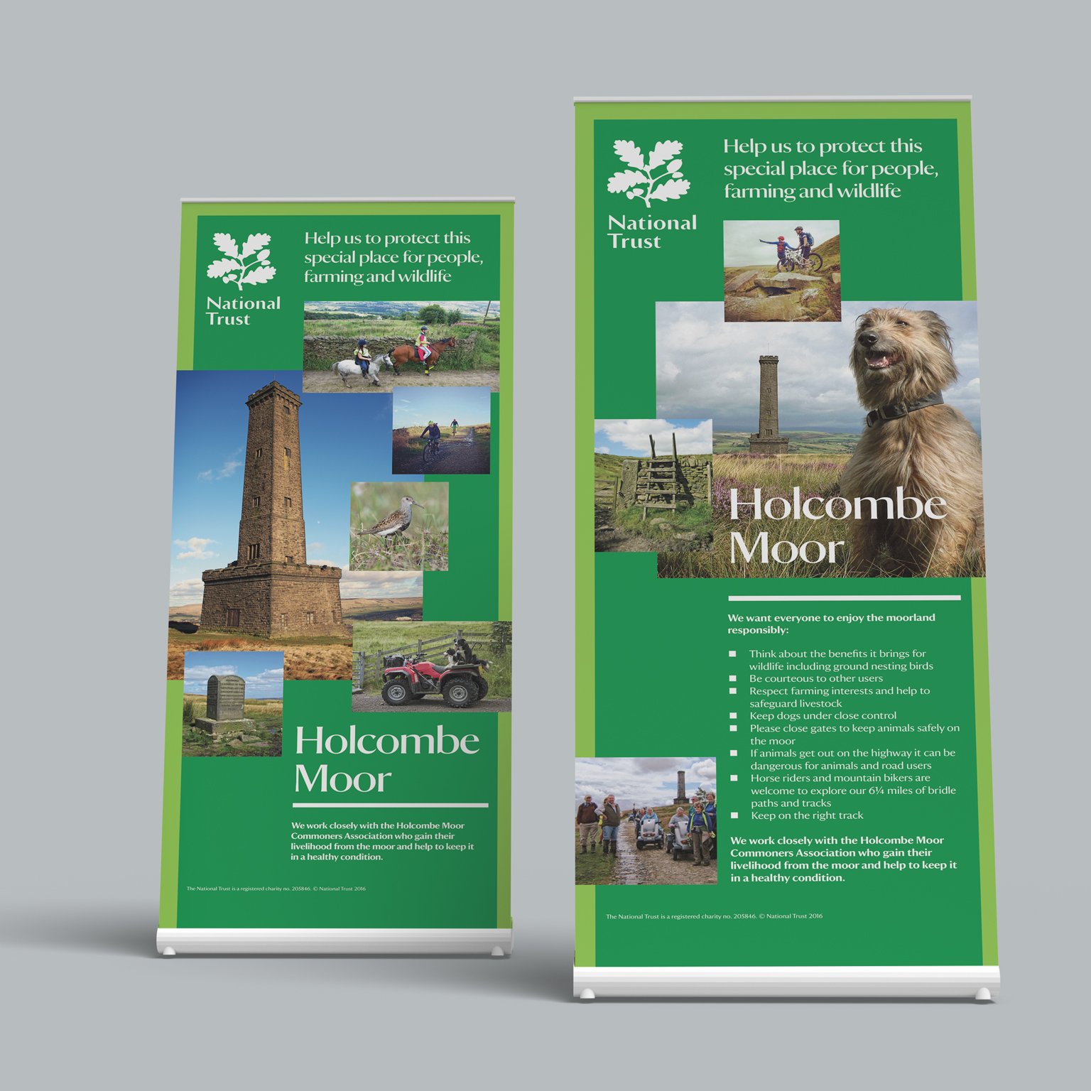
As well as interpretation site maps, we’ve also designed signage, flyers, posters, roll-ups and site leaflets for National Trust attractions such as Speke Hall, Rufford Old Hall, Gawthorpe Hall and Holcombe Moor.


